Starting with calm water on the east coast.
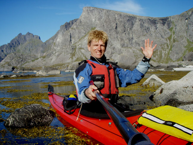
On 10.30 a.m. I started my sea-kayaking trip in the small village A (point 1 on the map).
I went out on this trip alone, their was no place left in my sea-kayak for "Harry the polarbear". My sea-kayak was filled up with camping equipment, mountainwalk equipment and food for 5 days.
The weatherforecast changed a little, today was nice but for the next days maybe some rain.
Today I want to paddle around the south-corner and paddle as long as possible. I knew that the sea at the south-corner has many places with strong/strange/difficult/powerful waves and currents. It is very important to avoid these places.
The village A is the last place In South Lofoten. the road ends here. The next days only steep mountains on my right and the sea on my left.
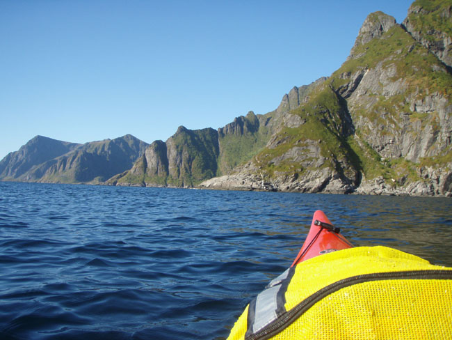
With a gentle North-East breeze I paddled the coastline in a South-Southwest direction.
First stop, point 2 on the map.
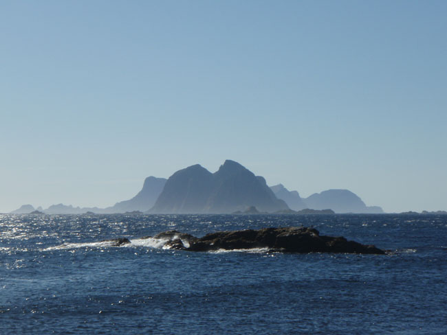
View from the south point (point 3), The island Vaeroy at the far end.
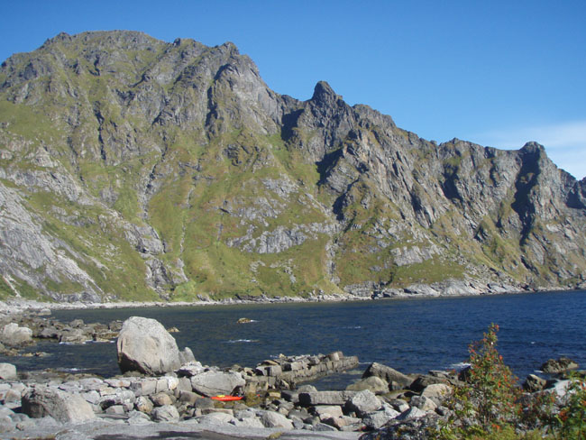
Second stop, just behind the lighthouse, point 3 on the map.
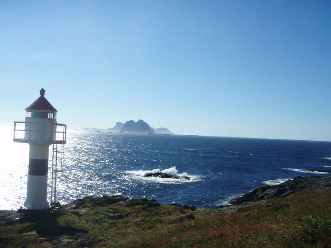
View with the lighthouse, the sea is getting wilder here.
I took a short break at point 2 and a longer break at point 3. I climbed up the rock with a lighthouse on it, to get a good overview over the sea and the ocean. I saw some small ships getting up and down on the waves when they were sailing around the south point.
The water at the oceanside was more powerful. Getting in my sea-kayak again, no sand beaches here only big rocks. Waiting for calm water to close my spraydeck and paddle to deeper water.
From now on it was hard working. The waves became very high and powerful on places with rocks just above or under the waterline. These braking waves were easy to see from a big distance, avoiding these places was absolutely necessary. The most important thing was: stay in your kayak under all circumstances. There were no resting places here, when the waves reaches the coastline they were braking on the rocks with gigantic power.
Paddling on a save distance from the coastline is better for your health. 500 meter in front of me was a small boat, which I only could see when I was on the top of a wave. But these waves were long waves and not dangerous as long as you keep your kayak straight.
Due to the strange streaming in the water and the wind from the back it was not possible to make any picture when I was paddling on the oceanside of the Lofoten Islands. Maybe I should have placed my camera on a helmet.
You need to paddle here with high concentration, every paddle stroke must be a good one, moving your paddle through the seawater give more stability, so keep on paddling and paddling.
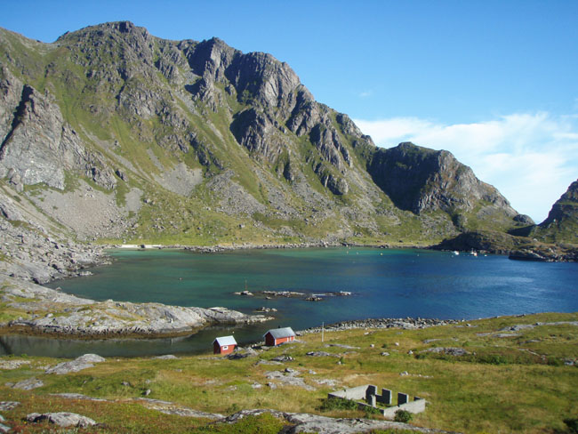
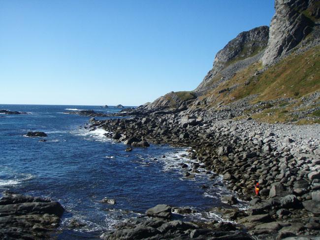
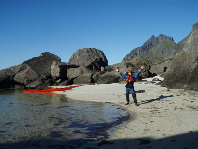
View on a nice small bay during a brake, point 4.
At point 4 (see map) I paddled into a nice quiet beach for some rest. 2 km north of point 4 the ocean calmed down a little bit at some places. My next break was on the sandy beach at point 5. At point 5 I discover that I forgot my GPS. This GPS should be still laying somewhere in the high grass at point 4, were I enjoyed my last break.
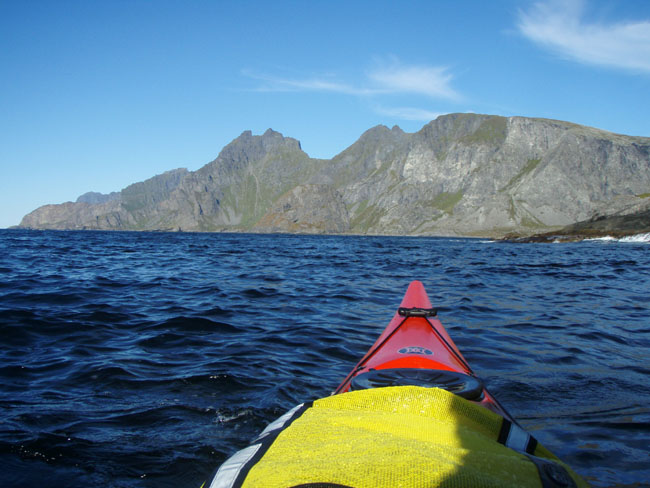
Picture taken from the west coast.
One of those beautiful views.
Steep mountains on the westcoast.
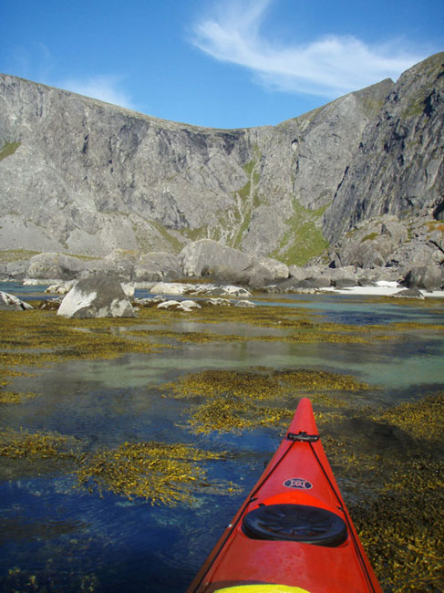
a Small sand beach at the westcoast.
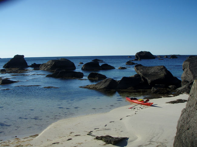
Big rocks in the sea at the sandbeach.
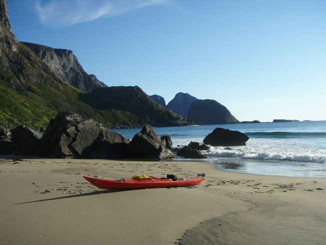
I decided that point 5 will be my campsite. I did found the small river (which was signed on the map) and, lucky for me, there was water in it. It has been a very dry summer on Lofoten.
I took my luggage out of my sea-kayak and paddled back to point 4, hoping to find my GPS. After an 1 hour search through the high gras I finally found my GPS. What a relieve!!!!
Paddling back to point 5 and get their before darkness was my next target. At some places strong North-East winds where really flying over the water. These gust of wind disappaer as easy as they appear. These gust of wind were really strong, I couldn't paddle then, the only thing I could do was making a low brace with the paddle on the water and wait. These gust of wind makes the sea completely flat and making rain drups of the sea water. So I could see when a gust of wind was approaching me. I was paddling on the west side of Lofoten now. The North-East wind was falling down from the steep mountains and sometimes increases their wind speed when they reach the sea.
I reach point 5 before darkness, after 36 km sea-kayaking it was good sleeping. I paddled around the South corner, which was very exciting.
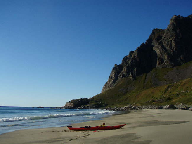
Big sand beach, point 5, looking to the North.
The same beach, looking to the South.
 Click here to go back to the main page: Sea-Kayaking around South-Lofoten .
Last update on October 1st 2008